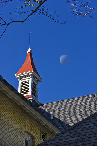
Grand Traverse Commons
 The Grand Traverse Commons (formerly the State Mental Hospital) straddles the boundary between Garfield Township and Traverse City. The Commons is very unique in nature, with a multitude of historic buildings slated for renovation and adaptive re-use into retail, office, residential, and light industrial spaces. A network of roads winds through the area, which is home to the Village at Grand Traverse Commons redevelopment and includes large amounts of City and Township park land.
Chapter 1 - Introduction
Chapter 2 - Historic Profile
Chapter 3 - Campus Profile
Chapter 4 - Visions, Objectives, & Strategies
Chapter 5 - Circulation Plan
Chapter 6 - Character Plan
Chapter 7 - Future Land Use & Zoning Plan
Implementation & Action Strategies
Appendix
Map 1 - Jurisdicational Boundaries
Map 2 - Historic District
Map 3 - Form and Character
Map 4 - Buildings
Map 5 - Elevation
Map 6 - Floodplain
Map 7 - Soils
Map 8 - Slope
Map 9 - Natural Systems
Map 10 - Non-Motorized Circulation
Map 11 - Motorized Circulation
Map 12 - Development Areas
Map 13 - Future Land Use and Zoning
Back Cover Sheet
Grand Traverse Commons History
*Text credited to the Grand Traverse Conservation District*
"In 1885, the state hospital opened just outside of Traverse City in what is now known as the Grand Traverse Commons. The lands behind the hospital were to be used as a self-sustaining farm operation, partially worked by the patients as a form of therapy. The operation included cherry orchards, many garden vegetables, beef and dairy cattle, hogs, and fowl.
Eventually, the Hospital began declining and so with it the farming operations. As patient numbers dropped, there were fewer hands to work the farm and less need for it. In 1957, the operation ended. The State Hospital didn't last much longer; as it closed in a gradual cessation from 1970 to 1988.
The State of Michigan, after closing the hospital, moved to demolish many of the historic buildings on campus. The community acted quickly, and began to organize to prevent this from happening. In 1981, these involved citizens helped pass local initiatives, which prevented the immediate demolition. After that, they placed the site on the National Register of Historic Places and Landscapes. In doing this, they succeeded in controlling what kind of demolition could occur.
Soon after, a Citizens Task Force was created to look at the feasibility of reuse with the site. They saw the undeveloped lands much in the same way they saw the historic buildings...as giving irreplaceable character, not only to the site, but also to the community as a whole.
The Charter Township of Garfield and the municipality of Traverse City became involved immediately in 1981. They took a proactive role in 1988, forming the Community Task Force. This initiative ended on March 14, 1990, with the acceptance of the "Adaptive Reuse Feasibility Plan for the Traverse City State Hospital". This plan was the first step in management for the historic district and the natural areas. A snowball effect began; the Grand Traverse Commons Redevelopment Corporation was created to implement the Adaptive Reuse Plan, and the property was then renamed "Grand Traverse Commons". Public Act 250 gave the authority to incorporate the Redevelopment Corporation (GTCRC). This, specifically, allowed the GTCRC to develop a management plan and put it into action. More importantly, it gave the go ahead to try and acquire the Commons property from the State.
On the 14th day of December 1993, the State officially commenced the transfer of the State Hospital property to the GTCRC and the city of Traverse City. The former agricultural (natural) lands on the western side of the property were transferred to Garfield Township. The actual Hospital site and much of the developed portions of the Commons took the spotlight for the next nine years. The Minervini Group is in charge of the redevelopment of the State Hospital site and neighboring cottages."

